We provide you with workflows, code and necessary knowledge to add innovative technologies and functionality to your preferred modeling toolkit.

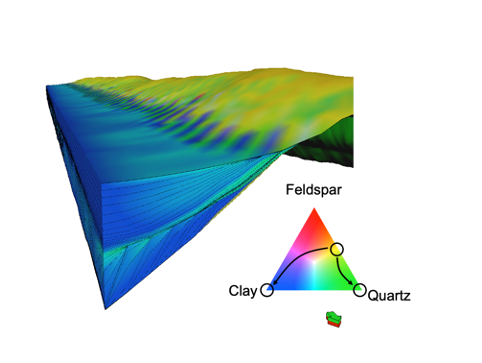
Stratigraphic Modeling is a core technology to investigate the interplay between structural basin evolution and sedimentary architecture. It is widely used to test exploration concepts and generate basic scenarios for geological reservoir modeling. The technology allows to obtain quantitative predictions of sediment distribution and petrophysical properties. Combined with Monte-Carlo simulations, probabilisitic maps and with Multi-Dimensional-Scaling (MDS) representative scenarios can be obtained to investigate success volumes and risks. We use GPM a Petrel Plugin by Schlumberger, which is flexible and can be customized to your needs. GPM aims to be realistic in geological time scales and includes clastic and carbonate sedimentary processes, weathering and diagenesis.
Contact us to learn more about the available solutions and how to collaborate with us to develop your stratigraphic modeling capabilities.

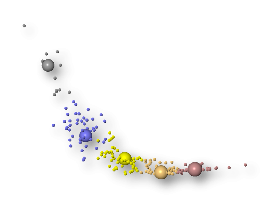
Multi-Dimensional-Scaling (MDS) is an evaluation technique to characterize large sets of Monte-Carlo simulation results and select representative realizations. Together with General Sensitivity Analysis it is a strong method to better understand what drives your uncertainty.
An implementation of the method was developed by the SCERF research consortium at Stanford (https://scerf.stanford.edu) as plugin in Petrel to select from a set of dynamic reservoir simulations.
Implementations are also available as Matlab code from SCERF Github. An older version of the distance based modeling tool in Petrel: Metrel can be downloaded from this dropbox-link. If you are interested in the technique and you like your own MDS implementation, contact us for more information.

The proper mapping of faults is generally a major challenge. Underestimating the importance of positioning and existence of faults can lead to wrong decisions due to incomplete dynamic model evaluations. As an example, wells can be wrongly positioned as only one “best guess” deterministic map based on a single fault and single seismic velocity structure are used. The author had his own painful experiences with such case.
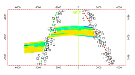
Due to overburden anisotropy and structural disturbances, there are always issues with seismic imaging, migration and more which make the proper positioning of faults in2D and 3D seismic at reservoir level difficult. Additional complexity arises when only 2D seismic is available and various options exist to connect fault traces from line to line. While the latter problem (fault connectivity) is still to be addressed, fault position uncertainty can now be investigated in Petrel, starting with Petrel 2019 and based on the structural framework process.
Contact us to learn more about this unique workflow and how you implement it to address your structural model uncertainty.
